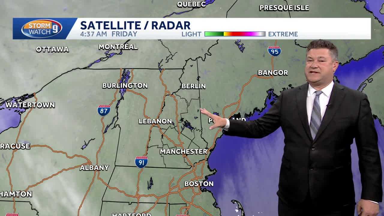
UPDATE: A significant cold front is gripping the region as a windy and frigid Christmas night transitions into a chilly Friday. Residents are bracing for a touch of light snow tonight, with impacts expected from 10 PM to 6 AM Saturday, primarily affecting areas south and west of Laconia.
Today is marked by sunny skies but bone-chilling temperatures, with highs ranging from 10°F to 22°F across the area. Fortunately, winds are expected to be much lighter, providing slight relief amidst the cold. However, clouds will build later this evening as the region prepares for the incoming weather system.
As we look ahead, another system will bring light snow tonight, clearing quickly by Saturday morning. Expect temperatures to remain in the 20s during the day, with the sun giving way to increasing high clouds on Sunday. The atmosphere will begin to warm slightly, setting the stage for a more complex weather situation.
Late Sunday night into Monday, a wintry mix of sleet and freezing rain is anticipated. This will transition to rain for many areas on January 1, 2024, making travel potentially hazardous. Morning commutes may be particularly challenging due to slow and slippery conditions, although improved travel conditions are expected by the afternoon.
Residents are advised to stay updated on weather alerts as these developments unfold. Authorities urge caution for anyone planning to travel during this period, especially on Monday morning when conditions may be at their worst.
Stay tuned for further updates as this situation develops.