UPDATE: Approximately 72 million Americans are bracing for severe winter weather as powerful winds and snowstorms threaten to disrupt holiday travel plans this weekend. A massive weather system is sweeping from the High Plains and Rocky Mountains to the Northeast, with wind gusts potentially reaching 60 mph in various locations.
The most intense conditions are expected to batter regions across Appalachia, New England, and coastal Maine. Communities from Washington, D.C. to Boston will face adverse weather, with rain and wind continuing through the evening hours. However, significant travel disruptions are forecasted to peak on the West Coast, particularly in California, during the Christmas week.
After recently avoiding the harsh storms that devastated the Northwest, California is preparing for a dramatic shift in weather. A series of storms will unleash heavy rain across the state from this weekend through Christmas week, causing urban flooding and potential river overflows. Lower and mid-level areas of California could see inches of rainfall, especially on west- and southwest-facing mountain slopes.
Travelers in the Northeast should brace for significant airport delays as lake-effect snow blankets the region. Conditions are expected to improve later this evening, but a “clipper storm” is predicted to impact parts of the Upper Midwest and Northeast from Monday to Tuesday, with Tuesday emerging as the most challenging day for weather-related disruptions.
AccuWeather Senior Meteorologist Adam Douty warns that regions from Pennsylvania’s Pocono Mountains through central and northern New England will be particularly affected. Meanwhile, in the Sierra Nevada and the Cascades, multiple feet of snow are anticipated in higher elevations, posing further travel impediments.
While the weekend outlook appears calmer for some areas, lingering winds and snow will persist in the Great Lakes. Conversely, states unaffected by the winter blast are on track for potentially one of the warmest Christmases on record. Temperatures could soar into the 70s and 80s Fahrenheit across at least a dozen states, breaking daily records from Texas to Missouri and Georgia on both Christmas Eve and Christmas Day.
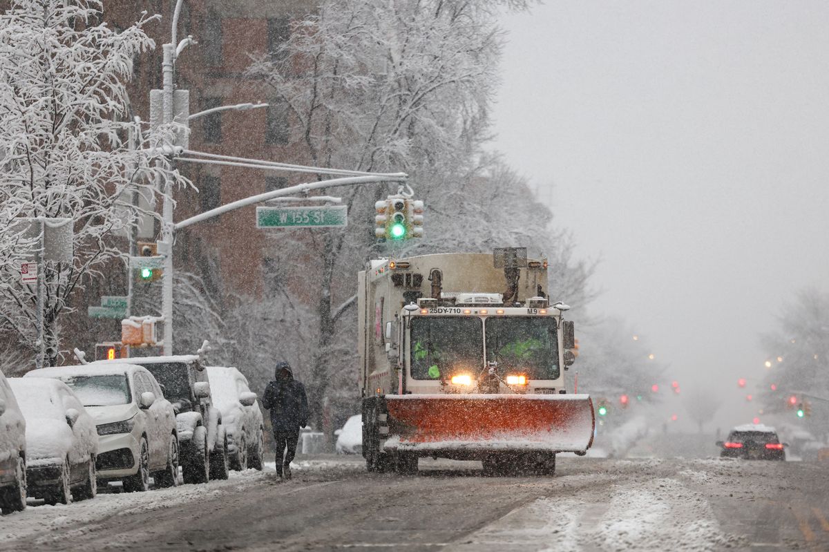
New Yorkers hoping for a snowy holiday may face disappointment as the forecast indicates dry and comfortable conditions with temperatures in the mid-40s. There is a slight chance of light snowfall early this week, but any accumulation is expected to melt before Christmas. AccuWeather Senior Meteorologist John Feerick noted, “Even if we were to get a small accumulation, it would melt by the time we got to Christmas.”
Historically, a white Christmas in New York City is rare, with the last significant snowfall occurring in 2002, when 5 inches blanketed Central Park. In the last 156 years, only six Christmases have seen over an inch of snowfall in the city.
As travelers prepare for the holiday weekend, officials urge caution and preparedness as severe weather conditions unfold. Stay informed for updates as this story develops.