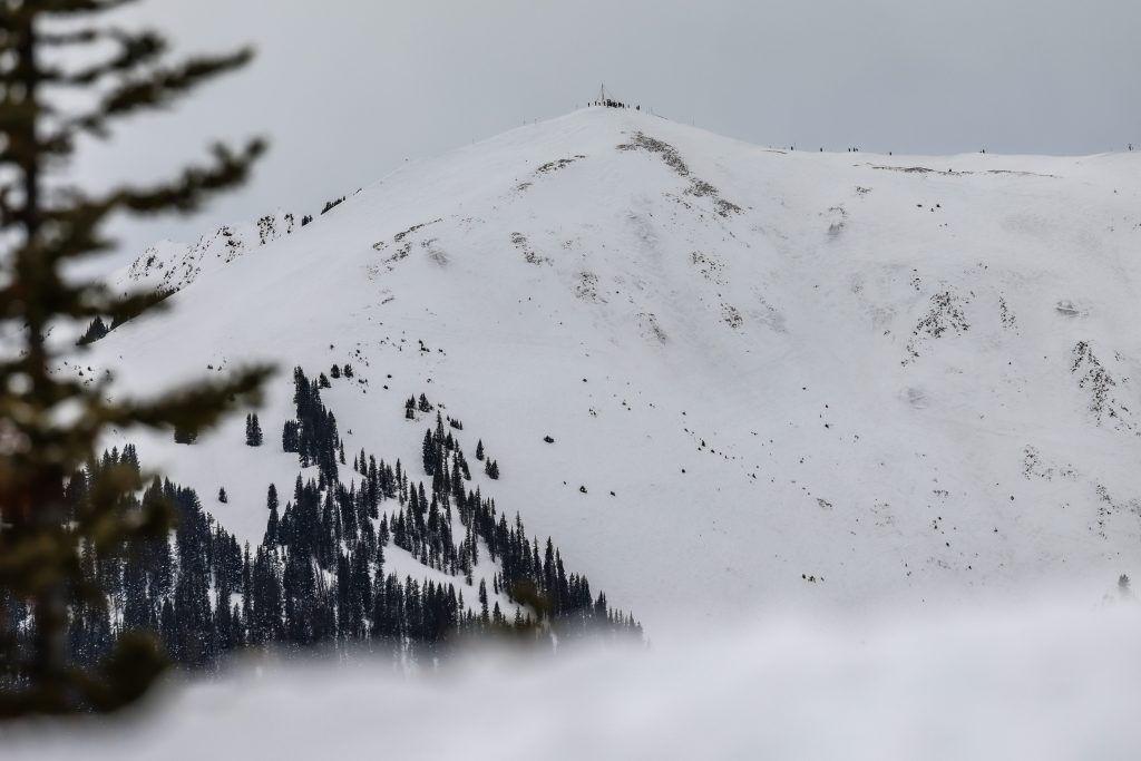
UPDATE: A warm storm has just wrapped up across Colorado’s northern mountains, delivering up to 10 inches of fresh snowfall to several ski resorts. This significant weather event concluded Friday morning, February 15, 2026, with higher elevations—particularly in Summit County and near the Continental Divide—recording the most substantial totals.
Skiers and snowboarders flocked to Aspen Highlands over the weekend, celebrating the winter wonderland created by this storm. Copper Mountain topped the charts with 10 inches of new snow, while Winter Park and Breckenridge Ski Resort both registered 9 inches each. These totals are crucial for winter sports enthusiasts and local businesses that rely on a robust ski season.
However, the storm’s warmer nature meant that lower base areas and valleys experienced rain, with a snow line hovering around 9,000 feet. This resulted in less favorable conditions for some resorts. The central mountains saw less than 5 inches of snow, leaving some areas disappointed.
According to a report from OpenSnow, snowfall totals from Wednesday through Friday morning are as follows:
– Copper Mountain: 10 inches
– Winter Park: 9 inches
– Breckenridge Ski Resort: 9 inches
– Arapahoe Basin Ski Area: 8.5 inches
– Keystone Resort: 8 inches
– Loveland Ski Area: 7 inches
– Vail Mountain: 7 inches
– Steamboat Resort: 6 inches
– Beaver Creek: 6 inches
– Irwin: 4.5 inches
– Cooper Mountain: 4 inches
– Aspen Mountain: 0.5 inches
– Snowmass: 0.5 inches
– Sunlight: 0.5 inches
Looking ahead, the weather forecast indicates that Friday and Saturday will remain dry, but expect northern showers to return on Sunday. Following this, the next storms are predicted around March 3-4 and March 6-7, both expected to favor the northern mountains once again.
Stay tuned for further updates as conditions evolve. This storm has not only enhanced skiing conditions but also brings hope for a vibrant winter season across Colorado’s mountainous regions.