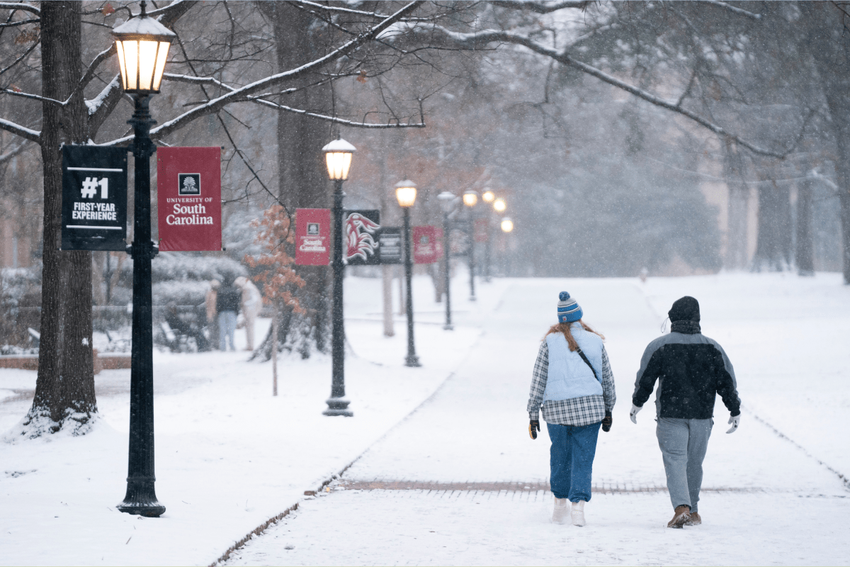
UPDATE: A severe winter storm is unleashing heavy snow and strong winds across four southeastern states, prompting winter storm warnings that could lead to dangerous travel conditions. The National Weather Service (NWS) has confirmed that residents in North Carolina, South Carolina, Georgia, and Virginia should prepare for up to 4 inches of snow and winds gusting up to 60 mph.
This storm, which is impacting regions that rarely see such extreme winter weather, is expected to create brief blizzard conditions and potentially life-threatening situations for travelers. The NWS advises anyone in affected areas to keep essential supplies, including flashlights, non-perishable food, and water, in their vehicles if travel is unavoidable.
North Carolina is bracing for significant snowfall, particularly in the western mountains, where around 1 inch of snow is forecasted, compounded by gusts of up to 55 mph until Sunday morning. The eastern Piedmont and Coastal Plain may receive up to 2 inches of snow and winds reaching 35 mph until Sunday afternoon.
In the wake of this storm, counties such as Duplin, Onslow, and Jones could see between 2 and 4 inches of snow, alongside hazardous winds, creating conditions that may lead to whiteouts. Authorities warn that travel could be “potentially life-threatening” in these areas.
In South Carolina, light snowfall and black ice are forecasted, particularly impacting the Interstate 77 corridor. Counties like Allendale and Charleston could accumulate up to 1 inch of snow with winds reaching 35 mph until Sunday afternoon. The NWS warns that many roads will be treacherous, urging residents to reconsider any travel plans.
Moving to Georgia, parts of northeast areas may see light snow and gusty winds, creating poor visibility conditions. Counties such as Jenkins and Effingham are expected to receive up to 3 inches of snow, with roads becoming slick and hazardous, especially on bridges and overpasses.
Finally, in Virginia, up to 2 inches of snow combined with winds of 45 mph are anticipated until Sunday morning, with southeastern regions potentially experiencing similar conditions through Sunday evening.
As the storm progresses, the NWS continues to monitor developments closely. Residents are urged to stay updated and exercise extreme caution if travel is absolutely necessary. This situation is rapidly evolving, and further updates will follow as conditions change.


