UPDATE: A snow emergency has been declared as a massive winter storm ravages the United States, impacting over 42 million Americans during one of the busiest travel weekends of the year. The National Oceanic and Atmospheric Administration (NOAA) warns of dangerous conditions across a swath of the country from Montana to New York, with snow, sleet, and ice making roads treacherous.
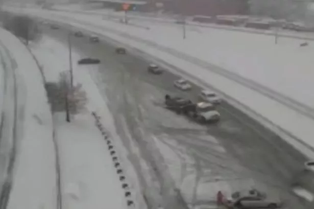
Videos of chaotic scenes, including cars spinning out of control in St. Louis, Missouri, have gone viral, highlighting the severity of the storm. Witnesses report cars “spinning out left and right,” creating an urgent call for caution as millions embark on post-Thanksgiving travel.
The National Weather Service (NWS) has confirmed that the storm stretches nearly 1,200 miles and is expected to worsen as it moves eastward. With more than 81.8 million people projected to travel 50 miles or more during the holiday, the risks on the roads are rising sharply. Snow squalls are already causing sudden whiteout conditions in parts of the interior Northeast.
The situation has already turned tragic. In Minnesota, a 69-year-old man was killed when a snow-covered tree fell on him due to strong winds. This highlights the potential dangers associated with this winter storm.
As of Friday, snow has begun to blanket the northern Rockies and northern Plains, with expectations of continued accumulation through the weekend. Michigan is bracing for significant snowfall, with every county under either a winter weather advisory or a winter storm warning. Central New York may see up to a foot of snow, while parts of Iowa, Illinois, Wisconsin, and Michigan could exceed that, leading to a ripple effect of airport delays across the nation.
The NWS warns of hazardous travel conditions, particularly in eastern Iowa and northwestern Illinois from Friday afternoon into Saturday night. Chicago, a critical air travel hub, could be buried under 8 to 12 inches of snow or more, according to meteorologist Andrew Kozak. The heaviest snowfall is anticipated downwind of Lake Superior, affecting Michigan’s northern Lower Peninsula and areas near lakes Erie and Ontario.
While the storm does not officially qualify as a blizzard—defined by winds over 35 mph and visibility under a quarter mile—it may still feel blizzard-like to those caught in its grip. Thunderstorms and showers in the western Gulf Coast may lead to heavy rain and isolated flash flooding, adding to the overall chaos.
Travelers are urged to stay updated on conditions and consider delaying their journeys if possible. The storm is expected to intensify throughout Saturday, bringing moderate to heavy snow and gusty winds from the Midwest through the western Great Lakes.
Authorities are advising everyone to take this storm seriously and to prioritize safety during this tumultuous holiday travel weekend. Follow local weather updates for the latest developments on this unfolding situation.


