UPDATE: South Florida is bracing for an unprecedented weather event as a surge of Arctic cold air is set to sweep through the region this weekend, possibly bringing snowflakes to the Gulf Coast. The National Weather Service (NWS) has confirmed a 10-20% chance of snow flurries from the Florida Panhandle all the way down to the Fort Myers/Naples area late Saturday night into Sunday morning.
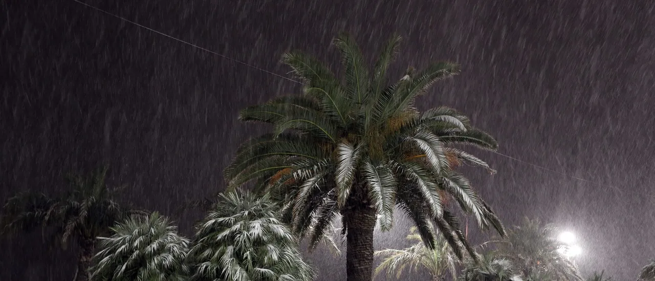
This rare phenomenon, known as Gulf-effect snow, could result from the interaction between the frigid Arctic air and the warmer waters of the Gulf of Mexico. As cold air moves over the warm water, it has the potential to create small bands of light snowfall, although experts caution that accumulation is unlikely.
Despite the slim chances, the prospect of snow has residents buzzing with excitement and disbelief. As the NWS Tampa Bay tweeted, “Did you say SNOW is in the forecast this weekend?!? 😱” Despite the allure of snow, forecasters emphasize that any flakes that do fall are unlikely to stick, as ground temperatures remain too warm.
The NWS advises that cold, blustery conditions will dominate the weather this weekend, making this a significant event for a region that rarely sees snow. Historically, Tampa has recorded measurable snowfall only twice: a mere 0.2 inches on January 19, 1977, and 0.1 inches on February 13, 1899. Notably, Naples has never experienced measurable snowfall, underscoring the rarity of this weather pattern.
The unusual setup leading to this potential snowfall is partially due to a nor’easter impacting multiple states along the East Coast, which is funneling a deep pool of cold air far into Florida. This convergence of weather systems may allow for a rain/snow mixture along the Gulf Coast, although the NWS stresses that the likelihood remains low.
As residents prepare for the weekend, the excitement is palpable. Local social media is ablaze with anticipation, as many Floridians have never witnessed snow in their lifetime.
WHAT TO EXPECT:
– Light snow flurries possible late Saturday night into Sunday morning
– Cold temperatures and blustery conditions across the region
– Minimal to no accumulation expected on the ground
While the chance for significant snowfall is low, this developing weather event is a reminder of the unpredictable nature of winter in Florida. Residents are encouraged to stay tuned for updates from the NWS as the situation unfolds.
Whether or not snow makes an appearance, the anticipation alone is enough to stir excitement across the state. This weekend, South Florida may just experience a winter wonderland—if only for a fleeting moment.
Stay tuned for further updates as we monitor this rare weather event!