BREAKING: Michigan experienced an astonishing surge of over 100,000 lightning flashes in 2025, according to the National Lightning Detection Network (NLDN). This spike, recorded in several counties, marks a significant increase compared to typical annual data, highlighting a year of extreme weather events.
The NLDN, operated by Vaisala Xweather, has revealed detailed statistics on lightning activity across Michigan. Counties such as Shiawassee, Genesee, Lapeer, St. Clair, and Saginaw emerged as the state’s lightning hotspots, witnessing between 32 and 64 flashes of lightning in every half-mile square area. Notably, Ogemaw County, which includes West Branch, also reported a high frequency of lightning strikes, despite its northern location typically experiencing less thunderstorm activity.
This year, certain regions have recorded double the average lightning strikes. Lapeer County, Ogemaw County, Cheboygan County, Presque Isle County, and Leelanau County all experienced a dramatic uptick in lightning events, while urban areas like Grand Rapids, Ann Arbor, and Detroit reported fewer strikes than usual.
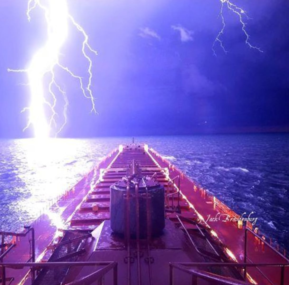
The NLDN’s detection technology provides critical insights into storm patterns, helping communities prepare for potential dangers. Cloud-to-ground strikes, which are especially hazardous, have increased dramatically, putting residents at risk. The latest data emphasizes the importance of being vigilant during stormy weather, as lightning can lead to significant property damage and personal injury.
As thunderstorms continue to be a concern, Michiganders are urged to stay informed and heed safety warnings. With changing weather patterns contributing to increased lightning activity, meteorologists are closely monitoring conditions.
Authorities confirm that the lightning data collected will aid in understanding weather trends and preparing for future storms. Stay tuned for further updates as researchers analyze the implications of this year’s lightning statistics.
In a rapidly changing climate, the surge in lightning serves as a powerful reminder of the unpredictable nature of severe weather and its implications for safety and infrastructure across the state.