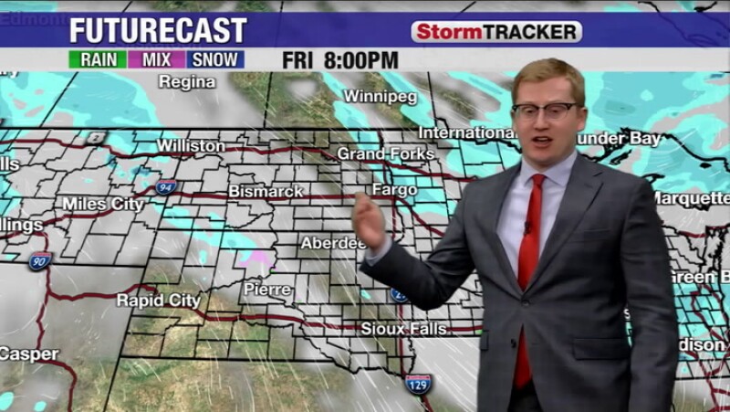
As winter approaches, a fresh wave of snow is set to impact parts of South Dakota and Iowa over the first weekend of December. Starting on the evening of December 1, 2023, snow will move in from the west, bringing significant accumulation to the southwestern regions of South Dakota on Saturday.
The National Weather Service predicts that the heaviest snowfall will occur in the southwestern part of South Dakota, where several inches may accumulate. This accumulation is expected to affect travel conditions, potentially leading to hazardous roadways.
Cold Temperatures Accompany Snowfall
As the weekend progresses, temperatures are anticipated to drop significantly. A north breeze will contribute to lower afternoon highs, with many areas seeing temperatures fall into the teens and single digits Fahrenheit. This chilling combination of snow and cold could create dangerous wind chill conditions, prompting a Wind Chill Advisory for the affected regions.
By Saturday night, the snow will shift southeastward, reaching portions of Iowa. While this initial system is forecasted to deliver substantial snowfall, a subsequent round of snow showers is expected on Sunday. This second wave is predicted to be less intense than Saturday’s snowfall, but it will still contribute to the ongoing winter weather conditions across the Dakotas.
Looking Ahead: Slight Warm-Up Expected
Temperatures are projected to remain well below average throughout Sunday, with many areas struggling to reach the single digits. As the week progresses, a slight warming trend is anticipated, accompanied by additional chances of snow.
Residents are advised to stay informed about weather updates as conditions evolve, particularly if they plan to travel during this wintry weather. The combination of snow and extreme cold underscores the need for caution on the roads and proper winter preparedness.