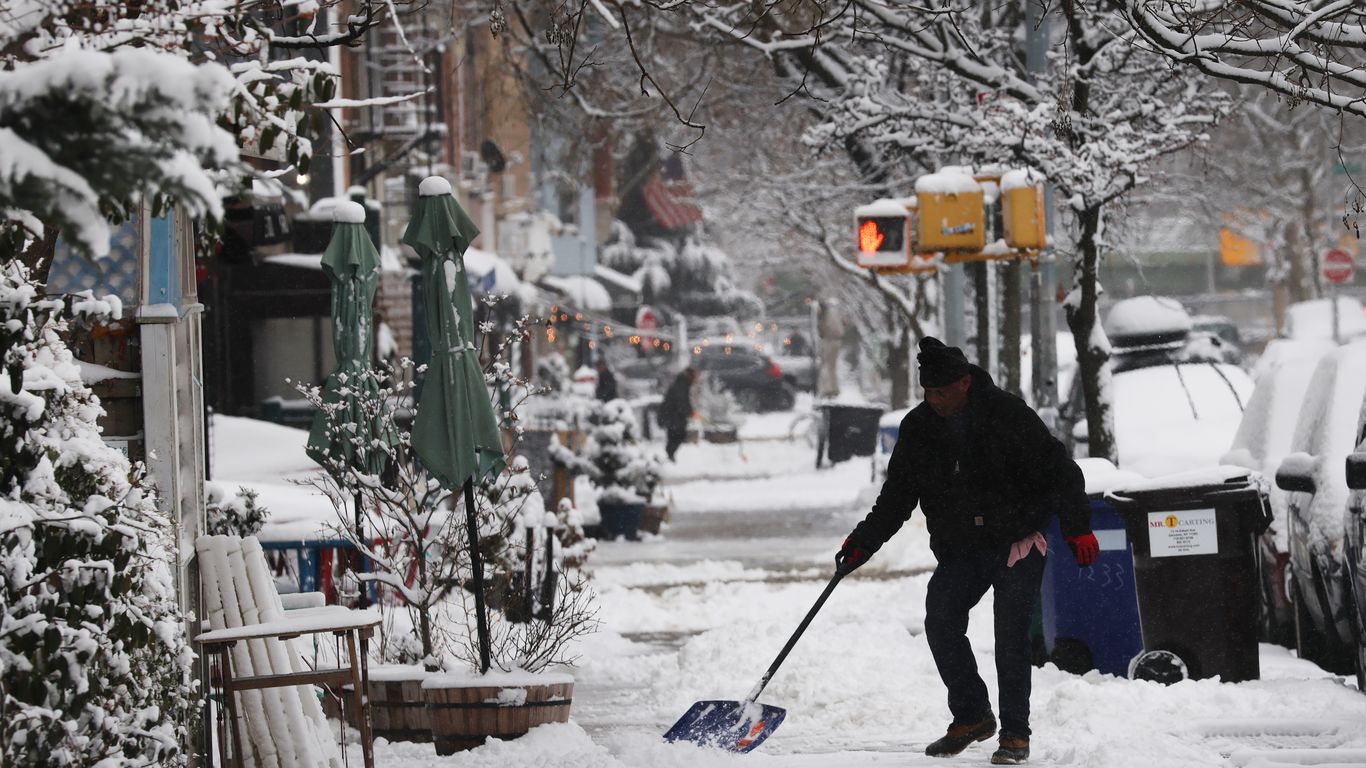
An intense winter storm is causing widespread disruption across the United States, particularly affecting travel in the Midwest and Northeast. According to the National Weather Service (NWS), nearly 10 million people are currently under winter storm warnings. The storm is expected to bring heavy snowfall, blizzard conditions, and freezing rain to several regions this week.
The system, which is rapidly developing, has already produced significant challenges for holiday travelers. On Sunday evening, over 7,700 flights were delayed as blizzard and winter storm warnings were in effect across areas such as Iowa, Michigan, Minnesota, and Wisconsin. Officials are advising against travel if possible, as conditions are expected to worsen.
Severe Weather Alerts and State Actions
In Minnesota, Governor Tim Walz announced that the National Guard has been authorized to assist with emergency operations. He emphasized the need for caution, as the NWS warned of “dangerous, potentially life-threatening” travel conditions due to strong winds and heavy snowfall. Several sections of Interstate 35 were closed due to numerous accidents caused by the severe weather.
Forecasts from the NWS indicate that parts of Michigan could see up to a foot of snow, leading to “very difficult to impossible travel conditions.” Meanwhile, in Iowa, officials warned that blowing snow could further complicate travel, regardless of the total snowfall amounts.
In New York, where Governor Kathy Hochul declared a state of emergency on December 29, high winds of up to 70 mph are anticipated. The NWS in Buffalo reported that strong winds combined with lake effect snow could create hazardous visibility conditions, particularly in areas near Lake Erie and Lake Ontario.
Forecasts and Impacts in the Northeast
The storm is expected to expand its impact across the Northeast, with freezing rain forecasted to move into interior New England. The NWS predicts that a mix of snow, sleet, and freezing rain will affect northern regions by Monday morning, before warmer temperatures transition the wintry mix to rain later in the day.
As the storm progresses, snowfall amounts could exceed a foot across the upper Great Lakes, particularly along the south shore of Lake Superior, where totals of up to 2 feet are possible. The NWS has issued warnings for blizzard conditions with whiteout visibility expected at the height of the storm.
In addition to the Midwest and Northeast, southeastern New Mexico and southwestern Texas are also facing winter weather threats. The NWS advised that blowing, accumulating snow could occur near the tail end of the Arctic front on Monday.
The ongoing storm has already caused significant disruption to holiday travel plans, with many travelers facing delays and dangerous road conditions. As the weather system continues to evolve, authorities are monitoring the situation closely and urging the public to stay informed.